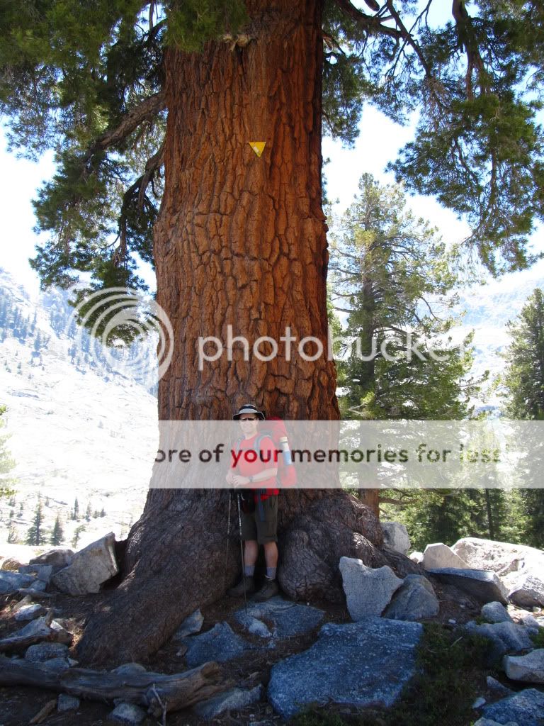
Overnight at Emerald Lake, Sequoia NP

lambertiana

Gold Member
Joined
Jul 7, 2000
Messages
8,430
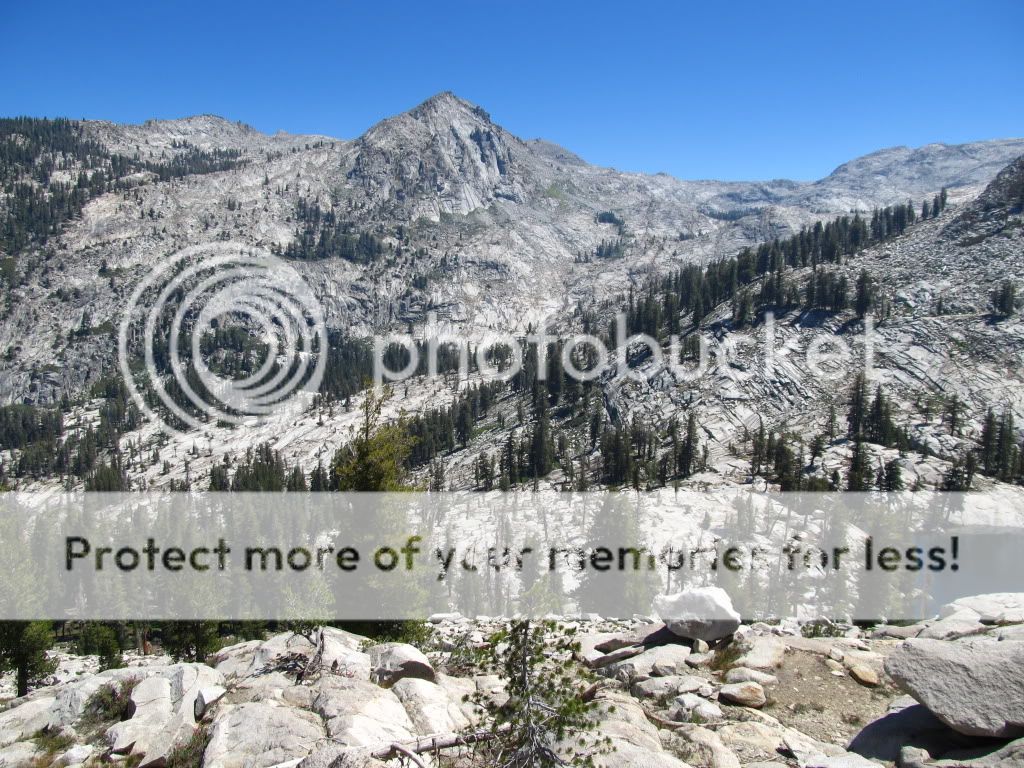
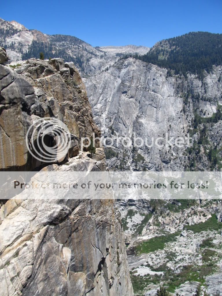
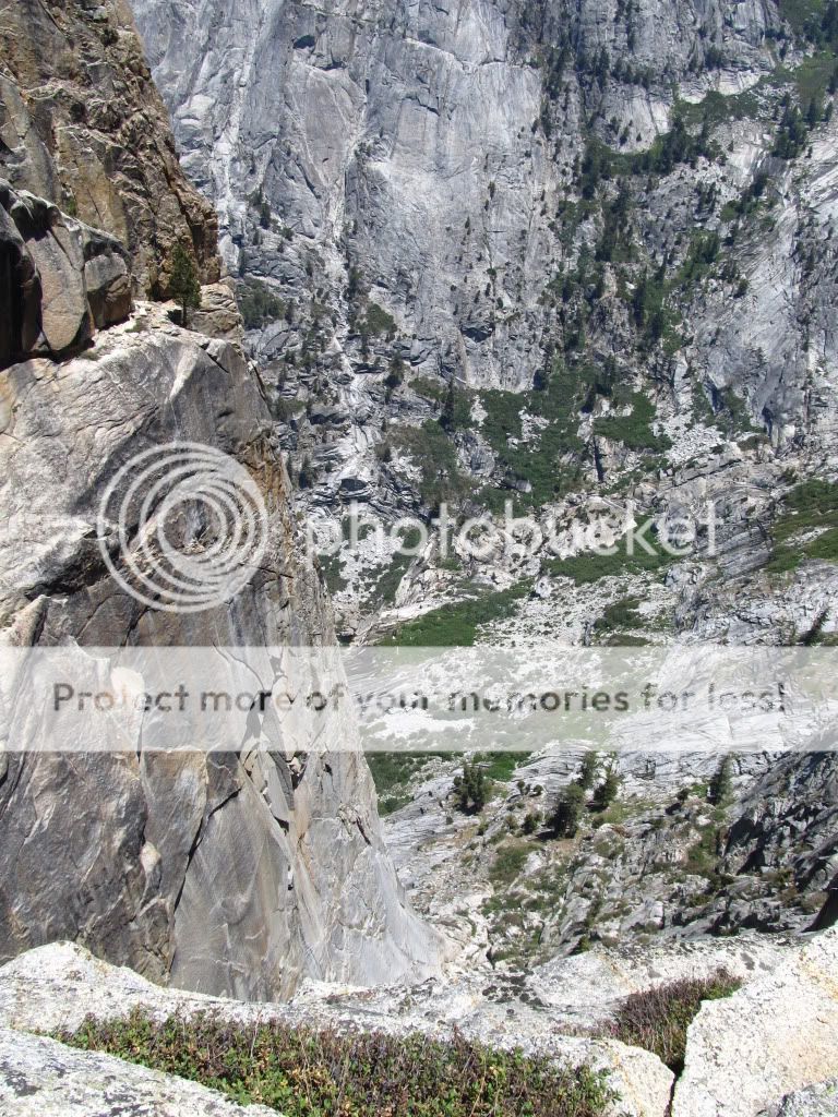
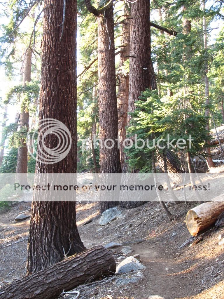
Recently one of my backpacking friends told me that he wanted to take advantage of a weekend when his family would be out of town, and asked me if I wanted to tag along. He had to twist my arm really hard. He went in early yesterday to get the permit and went up to Emerald Lake in Sequoia NP by himself. Later that day another friend followed with his seven year old son. After work I went straight to the trailhead at Wolverton, and hit the trail at 6:15 PM. The first part of the trail is in typical California Red Fir forest
IMG_1501.jpg


IMG_1508.jpg


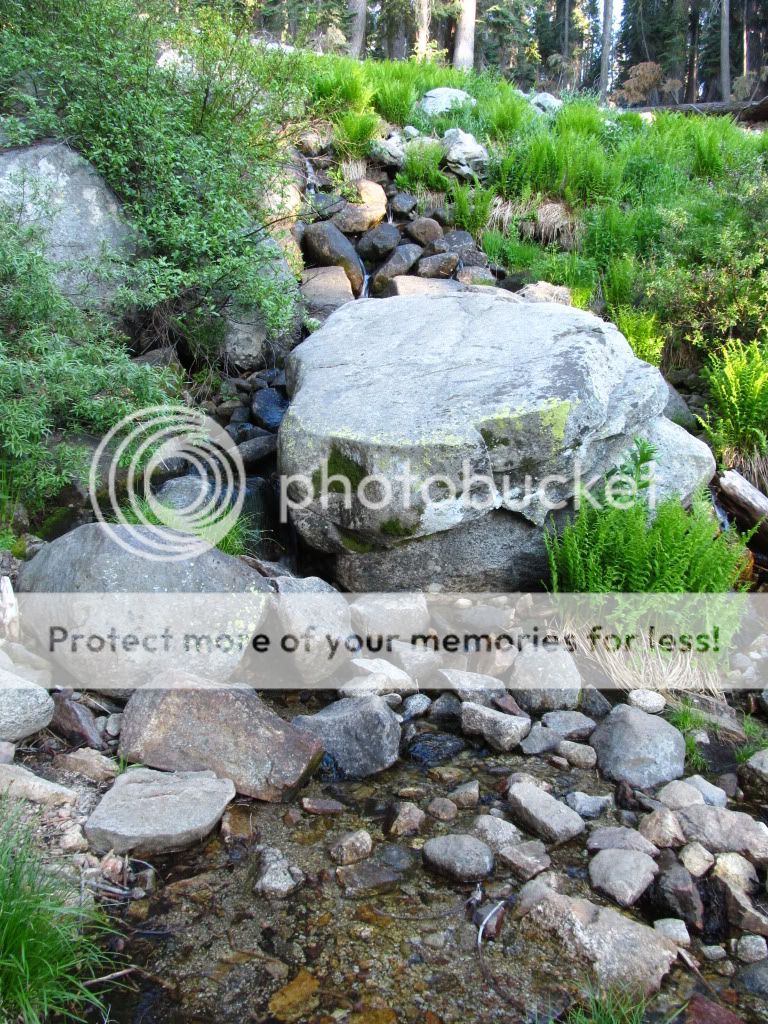
A nice small brook along the way
IMG_1505.jpg


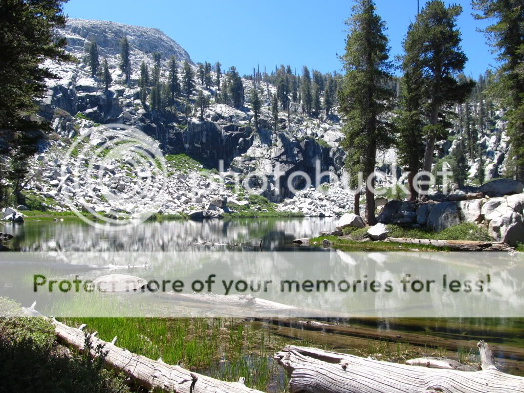
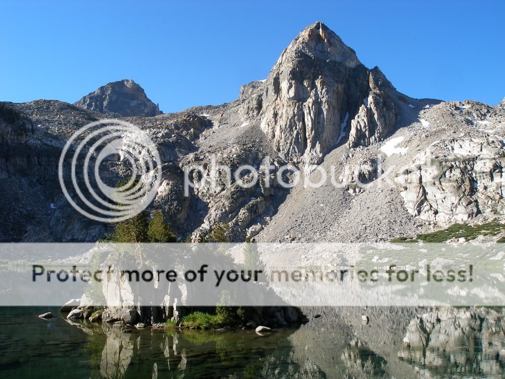
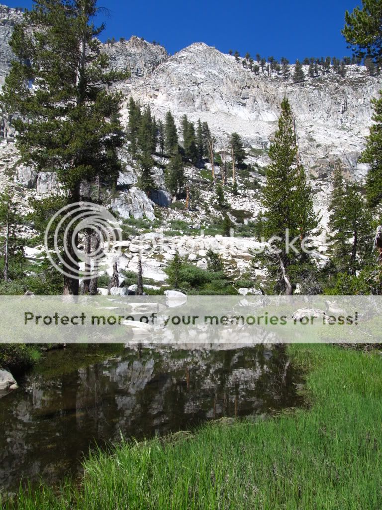
I got to Emerald Lake at 9PM, just as it got dark. It was significantly cooler than here in the valley (9000' of elevation gain sure makes a difference). This morning I had a relaxing time taking pictures. This is Emerald Lake:
IMG_1590.jpg


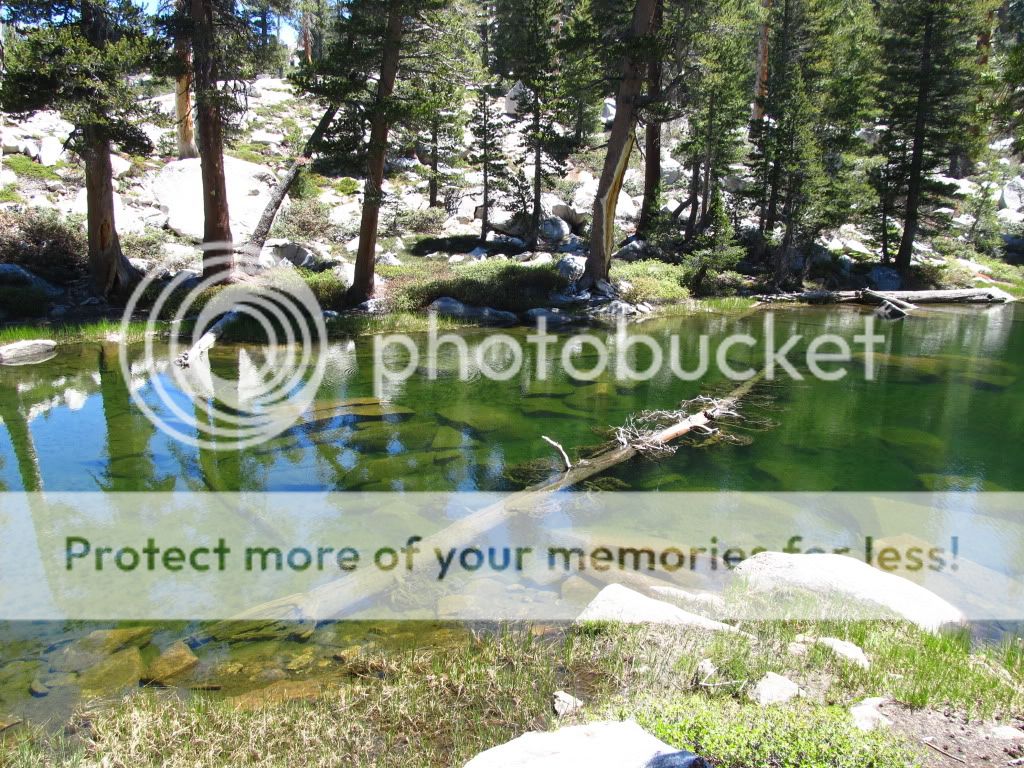
The outlet stream from Emerald Lake
IMG_1611.jpg


IMG_1624.jpg


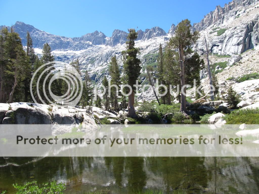
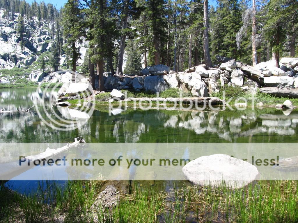
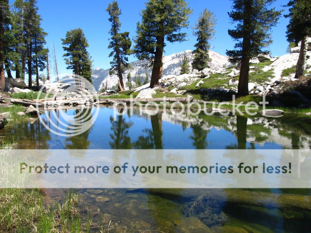
Just below Emerald Lake is Aster Lake, a very photogenic spot
IMG_1548.jpg


IMG_1580.jpg


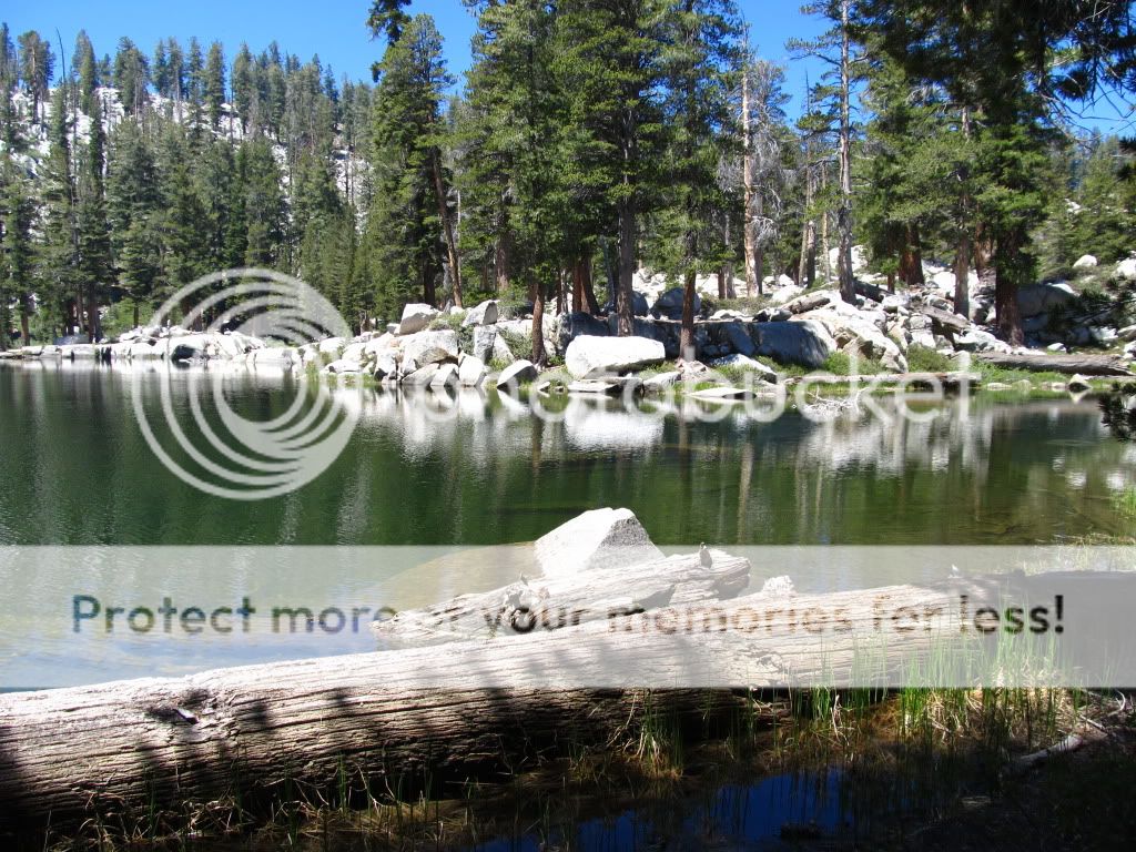
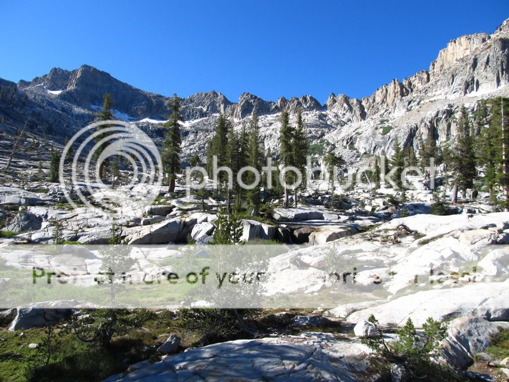
Looking back toward Emerald Lake from Aster Lake
IMG_1571.jpg


The area around Emerald Lake has a lot of nice Lodgepole Pine and Western White Pine, here is a nice Western White Pine
IMG_1630.jpg


The mosquitoes were out in force, and there was another couple there who found out the hard way that the "organic, all natural" mosquito repellent that they bought at a store that specializes in such stuff does not work at all. I felt sorry for them, and let them use my DEET.
 
From the trail on the way back out, this is looking back up toward the Tablelands
IMG_1632.jpg


On the way out we spent some time taking pictures at Heather Lake
IMG_1637.jpg


IMG_1641.jpg


IMG_1651.jpg


IMG_1653.jpg


IMG_1654.jpg


IMG_1662.jpg


We took the Watchtower trail, can you see my friend in red?
IMG_1680.jpg


Here is the Watchtower
IMG_1694.jpg


IMG_1698.jpg


Looking down from the Watchtower
IMG_1697.jpg


This is a really nice location, and Emerald Lake is only five miles from the trailhead. The only drawback is that because it is a scenic area so close to the trailhead, it is very popular and there are always a lot of people on that trail. And, unlike most areas of Sequoia/Kings Canyon, you have to camp in designated campsites. Nonetheless, it is still a trip that I would highly recommend.
 
WOW stunning photos, very scenic area indeed! I think I could spend about a month out there by that Aster lake and still not want to leave. Thanks for sharing the trip!
 
WOW stunning photos, very scenic area indeed! I think I could spend about a month out there by that Aster lake and still not want to leave. Thanks for sharing the trip!

Ditto---BIG TIME!!!!

Thanks for posting

I ALWAYS look forward to your EXCELLENT photos
 
Was hoping to see some pics if you flyfishing in that beautiful water. That's more than half the reason I go. I'm sure you could see some rising/jumping right?
 
Plenty of rising fish, we have fished there before and had no problem catching brookies.
 
Amazing country, amazing pictures. Thank you for sharing. I always enjoy these!!
 
The Lakes Trail is the first trail that I ever set foot on in Sequoia back in scouts. I love that trail and hiked it a couple summers ago with my wife. The watchtower is amazing!
 
Fantastic stuff. I wish I had your lungs.....and your thighs! Gotta love those ultraoligotrophic waters for their clarity and inspiration!
 
I wish I had the lungs, too. I live at 300' above sea level, and when I go up to 10,000' or higher I really feel it.

Oligotrophic lakes are the rule in the Sierra high country. With the granite bedrock and very little soil (most of the soil was moved downslope by the glaciers during the Pleistocene, which is why there is so much bare rock in the high country) there isn't a lot of dissolved solids in the lakes. I saw a water quality survey of 31 lakes around Mt Pinchot in Kings Canyon, and the majority of the lakes had a conductivity of 15-60 uSiemens/cm. Some lakes were as low as 5 uSiemens/cm, which is just about the same as deionized water.

Here is a good example of an oligotrophic lake (Sapphire Lake in Kings Canyon)
KingsCanyon2008395.jpg


KingsCanyon2008399.jpg


Or Franklin Lake
Franklin2006173.jpg


Or Lake 10,440 in Nine Lake Basin
HamiltonLake2008367.jpg


Or upper Rae Lake
KingsCanyon2009382.jpg


In many of the higher lakes, the bottom is clearly visible out to 40' depth or more.
 
Last edited:
Absolutely gorgeous! :thumbup: So the mosquitoes were bad huh?

[...]Oligotrophic lakes are the rule in the Sierra high country. With the granite bedrock and very little soil (most of the soil was moved downslope by the glaciers during the Pleistocene, which is why there is so much bare rock in the high country) there isn't a lot of dissolved solids in the lakes. I saw a water quality survey of 31 lakes around Mt Pinchot in Kings Canyon, and the majority of the lakes had a conductivity of 15-60 uSiemens/cm. Some lakes were as low as 5 uSiemens/cm, which is just about the same as deionized water. [...]

That is some clean water! Natural Milli-Q water... haha.
 
It's been far too long since I last visited that area. I need to go back.
Thanks for bringing back some wonderful memories.
 
Fantastic pics. Stunning scenery. Are you allowed to fish any of those lakes ?

Yes, you can fish all of the many many high country lakes in Sequoia/Kings Canyon. Depending on location, you will catch brook, rainbow, volcano creek golden, or little kern golden trout. Many of the lakes that are away from popular trails are really hot fishing. You toss your lure in, and in the crystal clear water you see trout rush toward it from all directions. I saw one location where all we had to do was dangle a lure a few inches above the water and the trout would jump out of the water to take it.

This is not someone I know, but it can give you an idea of what is possible in the Sierras. Granted, it is about a fishing trip that is far better than typical, but you get the idea. I know which basin these were caught in, and it is off trail (it would take me two days from the nearest road to reach it). All lakes in that basin are above 11,000'.

http://imhooked.com/cgi-bin/forumsyabb/YaBB.pl?num=1313715834/0
 
What beautiful back country. The photos are just stunning. Thanks for sharing.
 
What campsites are closest if you want to do the lakes trail? I don't yet have the equipment to carry everything up to the emeral lakes sites, so I'd like to camp somewhere not too far from the trailhead. Looks like Lodgepole is booked up solid for the rest of the summer. I saw there is a small one at South Fork, but that is pretty far and I won't be able to make it there before it fills (unless spots would still be open on Saturday morning).

I'd also take a substitute trail in the area if it is less popular and easier to get a nearby campsite.
 
Back
Top