lambertiana
Gold Member
- Joined
- Jul 7, 2000
- Messages
- 9,841
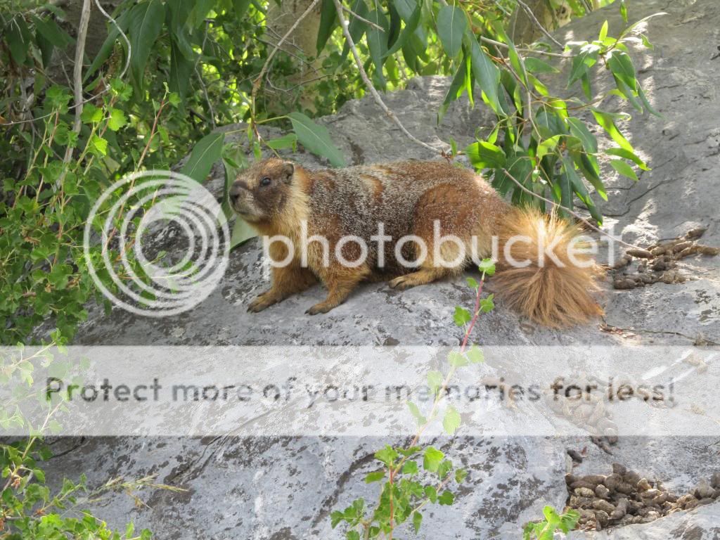
A week from today I start my long backpacking trip for the year, and I needed to get in another conditioning hike. Since I had not been to Franklin Lake since 2011, I decided to do a dayhike to get there. The first thing that you see when you get out of your car at the trailhead after driving the Mineral King Road (the last 25 miles are less than two lanes wide and gain 7000' over 698 officially counted curves) is one of the local denizens. Mineral King has the highest marmot population of any place I have seen in the sierras, they are thick there. And they like to chew on belts and hoses on parked cars, too.
Here is the start of the trail. Franklin Lake is six miles and 2600' vertical away, behind the peaks on the left

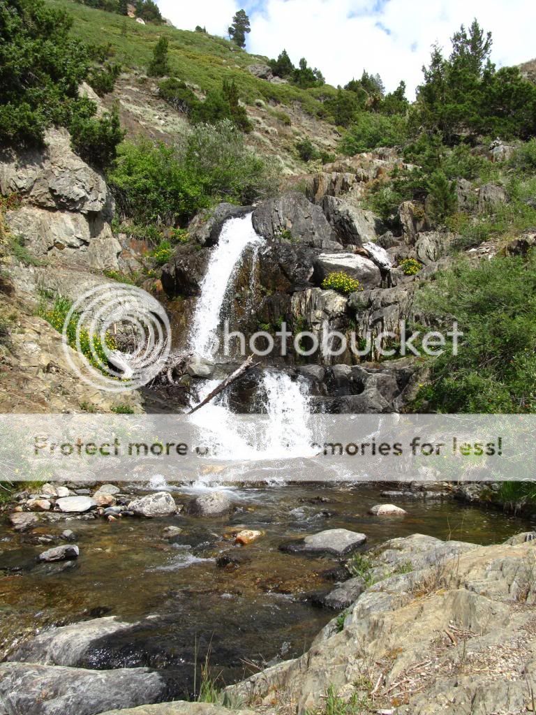
The first traditional snack break location is the crossing of Franklin Creek, where it enters Mineral King Valley proper
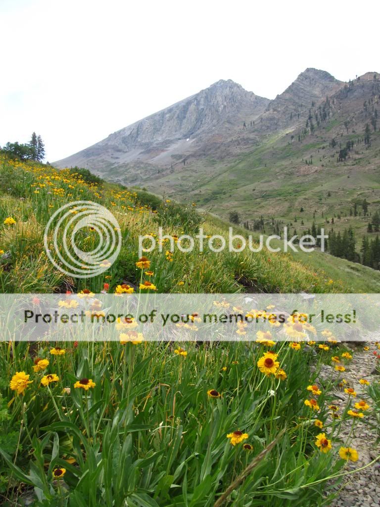
As you climb, VanDever Mountain becomes prominent
You eventually cross Franklin Creek again at 10,000'

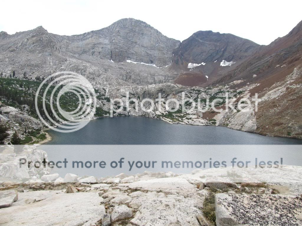
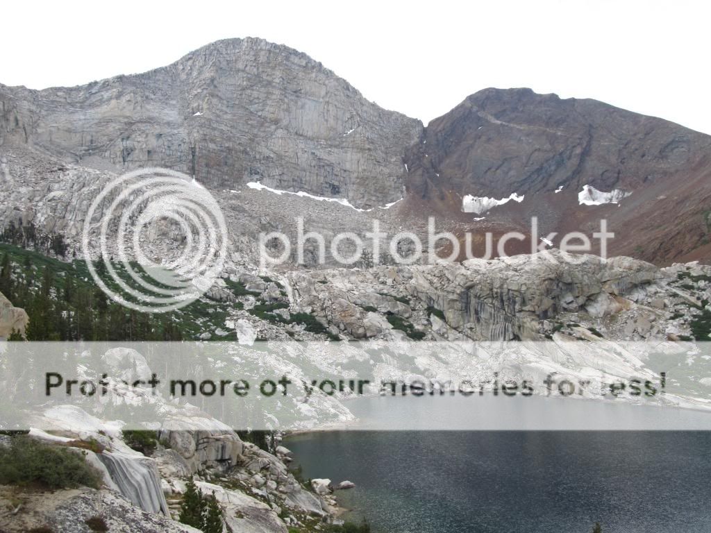
Then it is only another 400' gain to the lake, this is what you see when you crest the rise by the lake
I went to where I usually camp at the lake, on a shelf above the lake, with this view
It was cloudy and the clouds were building, so I had to start heading back down before it got too wet. Final farewell shots of the lake


Here is the start of the trail. Franklin Lake is six miles and 2600' vertical away, behind the peaks on the left

The first traditional snack break location is the crossing of Franklin Creek, where it enters Mineral King Valley proper

As you climb, VanDever Mountain becomes prominent

You eventually cross Franklin Creek again at 10,000'

Then it is only another 400' gain to the lake, this is what you see when you crest the rise by the lake

I went to where I usually camp at the lake, on a shelf above the lake, with this view

It was cloudy and the clouds were building, so I had to start heading back down before it got too wet. Final farewell shots of the lake


")