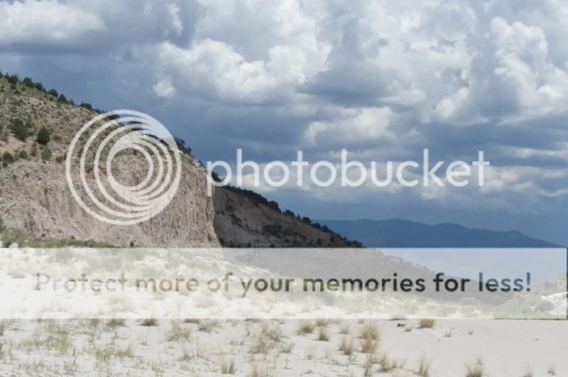
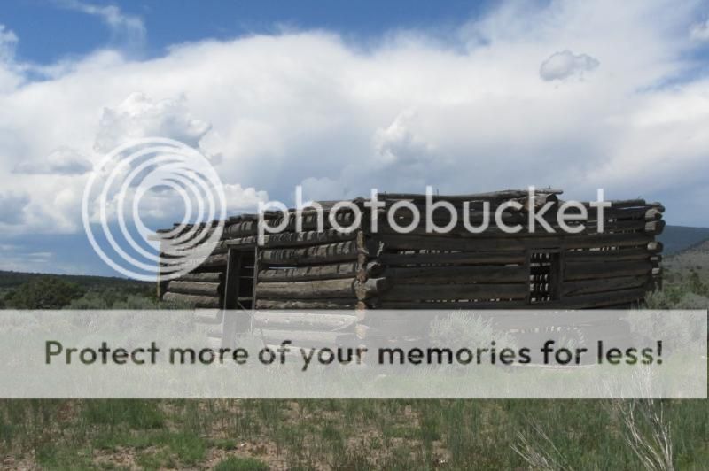
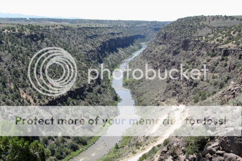
The Rio Grande Del Norte National Monument was created in 2013 and includes nearly 250,000 acres of sagebrush plains, volcanic peaks, miles of the Rio Grande Gorge, and important historic and prehistoric archaeological sites. The monument stretches from near Taos to the Colorado state line, and from the Rio Grande River west to highway
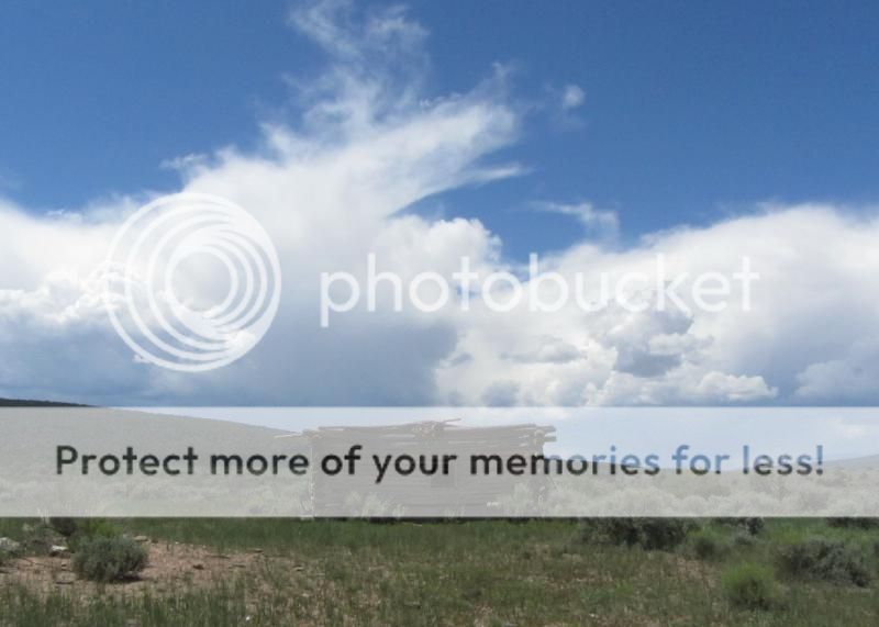
There are no printed handouts, no National Monument signs, no visitor centers, no paved roads or parking lots.
This is the only thing close to an official map that I've seen:
http://www.blm.gov/pgdata/etc/media...elNorteNationalMonument_11x17_08052014pdf.pdf
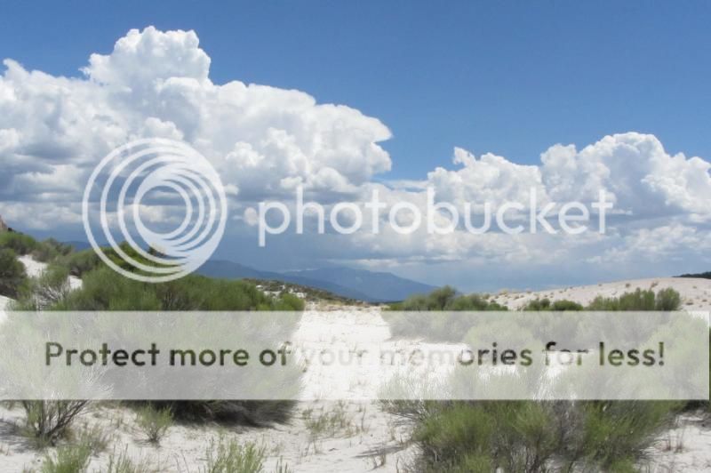
I visited there yesterday, but unfortunately my real camera had no batteries charged so I had to resort to the P&S to at least give you guys a hint at the expanse and beauty of this area. I am definitely going back, with a 'real' camera and extra batteries.
Call me Lassiter.")
There are no printed handouts, no National Monument signs, no visitor centers, no paved roads or parking lots.
This is the only thing close to an official map that I've seen:
http://www.blm.gov/pgdata/etc/media...elNorteNationalMonument_11x17_08052014pdf.pdf
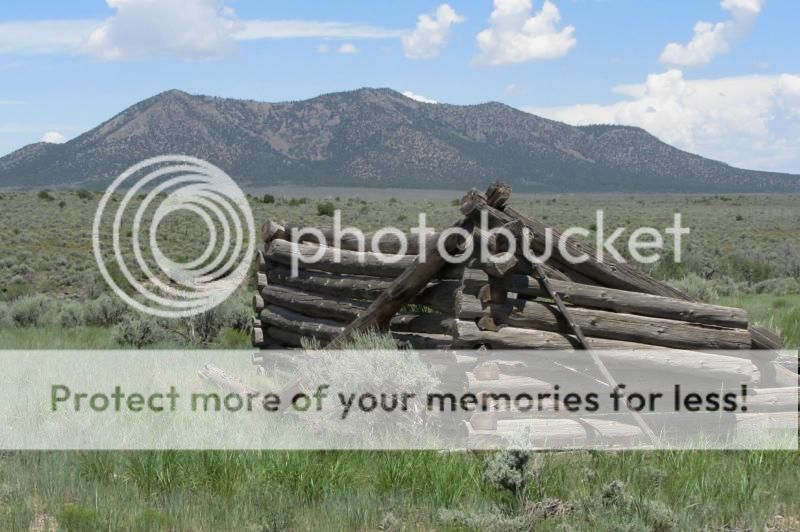
Ute Mountain, within the boundary, is over 10,000' elevation.A major part of the Monuments acreage lies west of the Río Grande. Here, seclusion is easy to find, with access only on rough dirt tracks or gravel roads. This is where you are most likely to see the vast herds of elk that bring hunters to the region. The many volcanic cones also provide an opportunity for peak climbing with nine peaks over 8,000 feet.
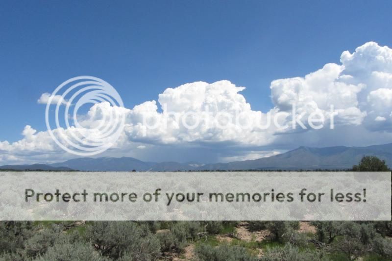
I visited there yesterday, but unfortunately my real camera had no batteries charged so I had to resort to the P&S to at least give you guys a hint at the expanse and beauty of this area. I am definitely going back, with a 'real' camera and extra batteries.
Call me Lassiter.