Caving (pics)

Joined
Nov 11, 2005
Messages
1,076
I just returned from a day of hiking and caving with two good friends. It was a perfect January day for it, here in Ontario. So i figured Id share the trip, enjoy the pics.

Quick shot of the surrounding area.
PICT0041.jpg


Top of the cliff
PICT0042.jpg


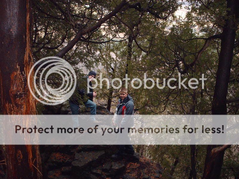
Bryan and Joel at cliffs edge
PICT0040.jpg


Joel heading to the bottom of cave (25 feet up)
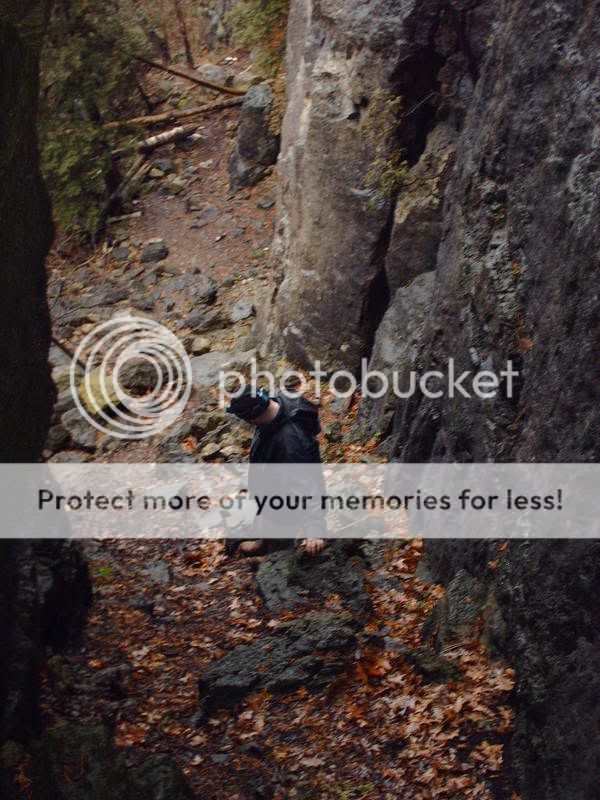
PICT0034.jpg


Bryan heading down
PICT0030.jpg


Me exiting the second cave
PICT0036.jpg


Joel and I heading down into the second cave
PICT0028.jpg


Bryan and I sliding are way through the first cave
PICT0024.jpg
 
Hey Matt...

Cool..
That's what I figured..

Where exactly is that??

The only other caves I know of in the Bruce are outside of Wiarton..
Same general area ??

One of the conservation areas we always go to when we are there is the conservation area 3 mins outside of Wiarton, where the Ruins and circlular staircase are..That's a nice place..

Thanks

Eric
O/ST
 
Hey Matt..

BTW..

Great pictures...

I tried entering your coordinates, but can't enter the numbers into my GPS..
What Gives ??

ttyle

Eric
O/ST
 
Hey Matt...

Cool..
That's what I figured..

Where exactly is that??

The only other caves I know of in the Bruce are outside of Wiarton..
Same general area ??

One of the conservation areas we always go to when we are there is the conservation area 3 mins outside of Wiarton, where the Ruins and circlular staircase are..That's a nice place..

Thanks

Eric
O/ST

There near campbellville, which is 15 min from Milton. there really easy to get too, take the 401 to the Guelph line exit(312). and head towards campbellville. when you reach the town, cross the train track, which then you starts to go up the mountain, stay on that road till you reach mount nemo conservation area.
 
Hey Matt..

BTW..

Great pictures...

I tried entering your coordinates, but can't enter the numbers into my GPS..
What Gives ??

ttyle

Eric
O/ST

the coordinates for my home town, i got off he internet from multi map dot com. why they dont work im not sure.

this set may work better, and if they do, let me know so i can change them on my profile here.
Lat:
43:23:56N (43.3988)
Lon:
80:40:07W (-80.6687)
 
Hey Matt...

As long as your hometown is about 4-5 km offshore in Lake Erie, due South of St.Thomas, those coordinates work perfectly...

You may want to look out your window and make you you haven't snapped off and are Adrift in Erie!! :)

If you have,, you may want to grab a fishing pole,, those are some good Rainbow and Lake Trout Waters!! LOL :)

ttyle

Eric
O/ST

lol, i wish i was adrift out there. be nice to get some fishing in, but o'well. thanks for letting me know about the coordinates. next time im home from school i'll have to get out my GPS, and get the real ones.
 
We were at the Mount Nemo conservation area. and yes it is part of the Bruce.

Hey matthew,

I think there is a bit of confusion here. I think Normark was asking if it is part of the Bruce Peninsula which Mount Nemo is not. Maybe you misunderstood. (unless I have :( )

Normark, Mount Nemo is about 10-15 miles from me, here in Hamilton.

Doc
 
Hey matthew,

I think there is a bit of confusion here. I think Normark was asking if it is part of the Bruce Peninsula which Mount Nemo is not. Maybe you misunderstood. (unless I have :( )

Normark, Mount Nemo is about 10-15 miles from me, here in Hamilton.

Doc

I may have misunderstood, i thought he wanted to know if it was part of the Bruce trail, which it is. or it at least connects to it.
 
Back
Top